The Cap d’Or walk climbs from El Portet to a historic watchtower overlooking Moraira’s coastline. Following the SL-CV 51 route, it combines residential streets with a rocky hillside path and rewarding Mediterranean views. Although relatively short, the climb requires suitable footwear and care on uneven ground. Our guide explains the starting point, distance, difficulty and practical considerations, helping you plan a walk followed by time at El Portet.
1st October 2026
For a different view of Moraira, follow the Cap d’Or walking route from El Portet to the watchtower above the bay. The climb rewards you with sweeping coastal views, but its rocky paths call for suitable footwear and a little preparation. Our guide covers the route, distance, difficulty and practical tips to help you plan your walk.
Image: @eliseoboixb
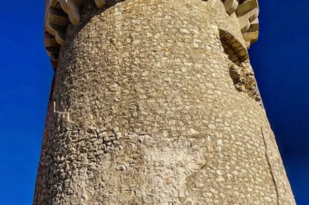
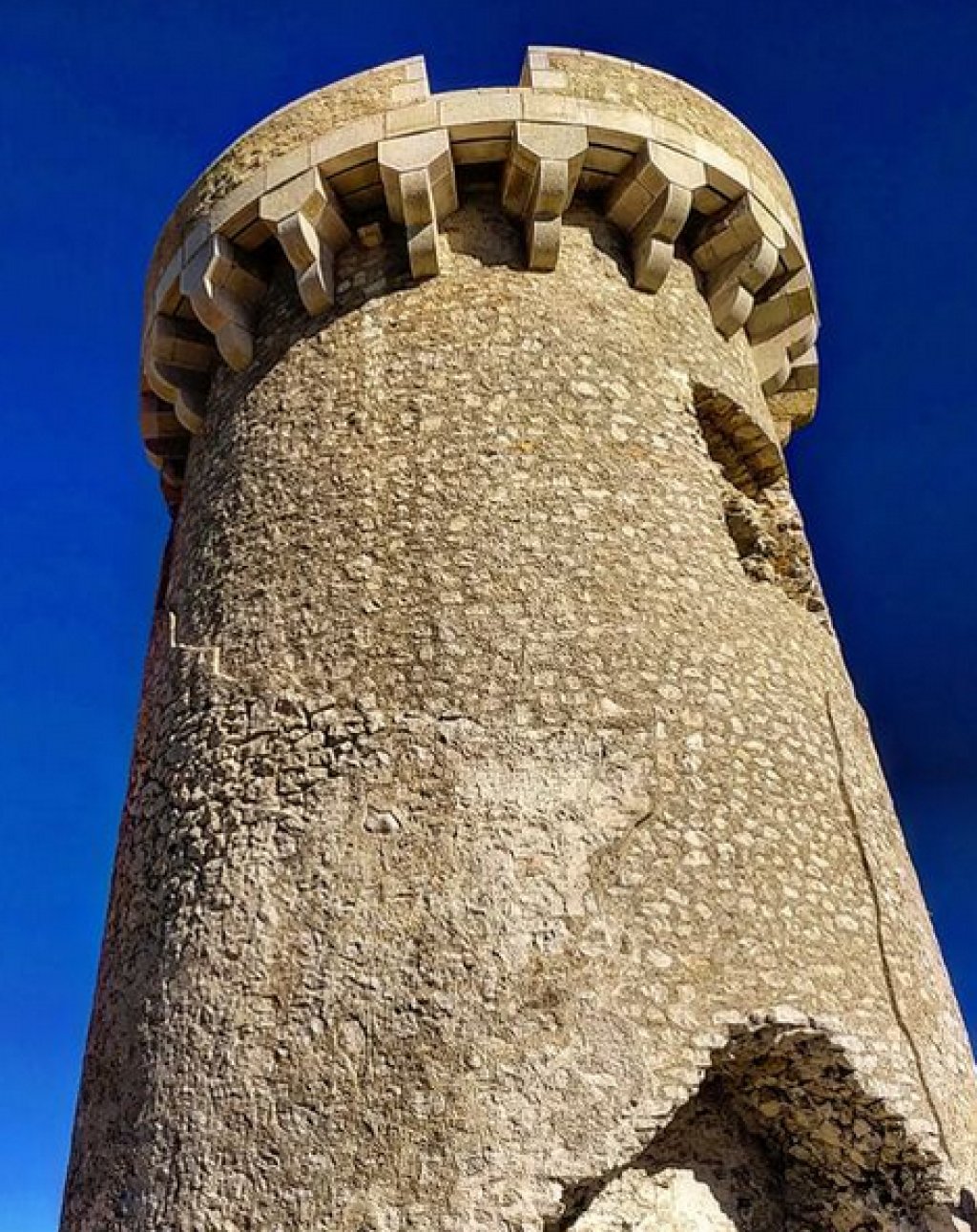
From the shore at El Portet, Cap d’Or rises above the bay. Walking to its watchtower offers a different perspective on Moraira, with views towards Peñón de Ifach and the Serra de Bèrnia.
The tower dates from the 16th century and formed part of the coastal watchtower network used to warn of pirate attacks.
The route is signposted SL-CV 51 - Torre Vigía del Cap d’Or.
Official sources publish slightly different measurements. Teulada-Moraira tourism lists 1.46km, one hour and 138 metres of height difference. The Generalitat route sheet gives 1.364km, one hour and 161 metres of height difference.
For planning, allow approximately 1.4-1.5km each way from El Portet to the tower, or around 3km returning by the same route. Allow about two hours for the outing, including a pause at the top. Starting in central Moraira adds the walk to and from El Portet.
Begin in the El Portet beach area, following signs towards the Cap d’Or tower.
The Generalitat itinerary follows Calle Puerto Lápice, Calle Puerto del Sol and Calle Puerto de Alcudia before joining the hillside footpath. Use the official route map alongside current signs.
Plan parking in advance using our Parking in Moraira guide. Keep residential entrances clear and use permitted spaces.
The first section climbs through residential streets. Once the route leaves the asphalt, it becomes a mountain footpath with uneven rocks that can be slippery.
You will encounter a junction towards Cova de la Cendra. Continue on the tower route for the walk described here; the cave branch is a separate diversion.
At the top, take time to enjoy the coastal panorama before retracing your steps to El Portet. Stay on the established path and take particular care descending.
Official classifications differ: the tourism page calls it easy, while the Generalitat sheet rates it moderate.
Our practical advice is to treat it as a short uphill hike, with rocky footing and a descent requiring concentration. Its short distance does not make it a level promenade walk.
It is unsuitable for pushchairs or wheelchairs. For children, consider their experience on uneven trails, supervise closely and turn back if the terrain feels uncomfortable.
Choose a cooler part of the day and leave enough daylight for the return. Wear shoes with good grip and carry water, sun protection and a charged phone.
Check the weather and current access notices before setting out. Strong winds, wet rock and extreme heat can change the experience considerably. Follow any closure signs, including restrictions during high fire risk.
For current local advice, contact Tourist Info Teulada-Moraira on +34 965 745 168 or visit the official route page.
Back at sea level, combine your walk with a meal overlooking the bay or time on the beach. Read our El Portet visitor guide for beach information, or explore more routes in the Moraira Walking Guide.
Moraira Sponsors



Featured Listings
AIM British Building Supplies & DIY Centre Javea

AIM is a British Building Supplies, DIY Store,...
Toldos Ifach Costa Blanca Markisen Awnings - Moraira / Calpe

Toldos Ifach install a large range of quality sun...
Moraira Build - Costa Blanca Builders, Property Construction & Property Sales

Moraira Build are an established construction and...
Bello Horizonte Javea - Furniture Shop & Interior Design Costa Blanca

Bello Horizonte is a quality furniture shop in...
Madexo - Cabanas, Pergolas & Gazebos

Madexo is specialised in the design and...


 Spanish
 Chinese (simplified)
 Dutch
Dutch French
 German
 Italian
 Norwegian
 Polish
 Romanian
 Russian